


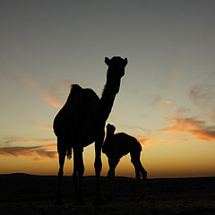
A map of the Middle East
by Orit Allush


Title
A map of the Middle East
Artist
Orit Allush
Medium
Photograph - Photography
Description
A map of the Middle East
Uploaded
June 21st, 2018
Statistics
Viewed 223 Times - Last Visitor from Romeo, MI on 04/25/2024 at 1:14 AM
Embed
Share
Sales Sheet
Similar Images


Comments
There are no comments for A map of the Middle East. Click here to post the first comment.
Recently Viewed
